
Deering
Multiple material sites are located near Deering along the road to Utica, which parallels the Inmachuk River.
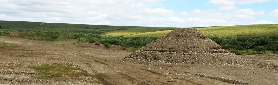
Access: Limited due to poor road conditions.
Location:
Site | A.K.A | GPS Coordinates | TRS |
5-Mile | 66.02813N, 162.82492W | Section 11-NE 1/4, 7N, 20W | |
9-Mile | "Inmachuk River Road - East Side", "Crusher Pit" | 66.002275N, 162.53262W | Section 16, 7N, 20W |
10-Mile | "Inmachuk River - Northwest Site", "Corral" | 65.595633N, 162.56208W | Section 20-NW 1/4, 7N, 20W |
16-Mile | "Inmachuk Rock" | 65.92523N, 162.99313W | Section 13-NE, 1/4, 6N, 20W |
Material: Primarily alluvium (river gravel), except for the 16-mile site which consists of rock and rip rap. Development of the rock at 16-mile may require drilling and blasting.