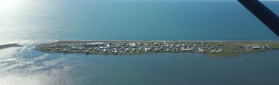

Kivalina
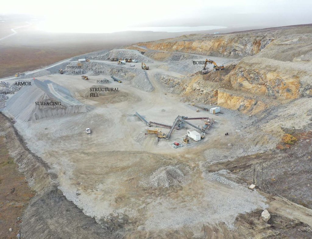
Kisimigiuktuk Hill (K-Hill)
Location: Approximately 7 mi N of Kivalina
Access: Via the Kivalina Evacuation Route, at Section 19, T28N, R25W Kateel River Meridian (KRM).
GPS coordinates: N67º48.723, W164º24.081
Material: Fragmented and decomposed grey-weathering, grey-to light tan, fine to medium grained crystalline limestone, with competent limestone to depth.
K-Hill is an active material site that was developed in 2019. Material testing indicates the limestone is suitable for armor rock. Material was blasted, excavated, and processed for the evacuation route and the school construction project. Any additional material will require blasting.
Potential Material Sites
Asaqpa (aka Asikpak) Rock Quarry
Location: Approximately 12 mi NW of the village of Kivalina at Section 8, T27N, R26W Kateel River Meridian (KRM)
Access: There is currently no road access; access is by air or winter trail only.
GPS coordinates: N67°44’50.38? and W164°35’10.13
River Gravel
Unnamed gravel sources are located along the Kivalina and Wulik rivers. Clasts include limestone, sandstone, argillite, black chert and occasionally quartzite. Some sites along the river may be state-owned, with adjacent NANA-owned gravel. Contact both NANA and the DOT&PF (see Obtaining Gravel from State Resources page) to determine material ownership.